Alta Vista
A mostly residential, single-detached area on high ground in east-end Ottawa.
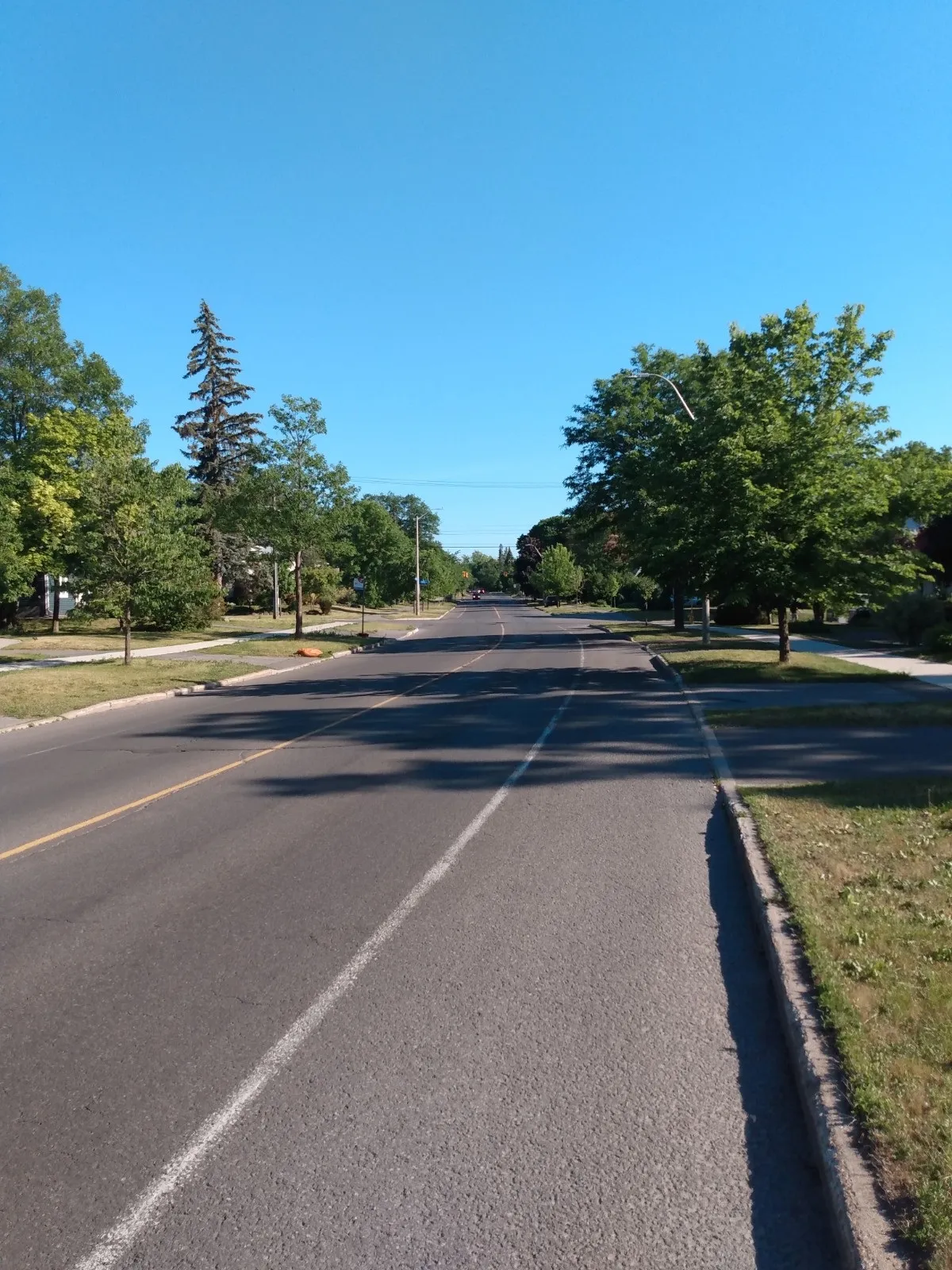
Alta Vista had 7,765 residents and 3,190 private dwellings in the 2021 census (via the Ottawa Neighbourhood Study). Population: 7,765 (2021).
Updated · Facts on this page link to their sources
About Alta Vista
Alta Vista had 7,765 residents and 3,190 private dwellings in the 2021 census (via the Ottawa Neighbourhood Study). About 79.9% of dwellings are single-detached houses, and 78.6% of households own their home. The median age is 43.6, and the average household has 2.5 people. Tree canopy covered 33.9% of the area in 2024. The City of Ottawa places it in Ward 18 (Alta Vista).
Boundaries
Ottawa Neighbourhood Study area 'Alta Vista'; the Alta Vista Community Association uses a wider boundary. ons-sqo.ca ons-sqo.ca
Homes
In the 2021 census (via the Ottawa Neighbourhood Study), 79.9% of Alta Vista dwellings were single-detached houses, 4.6% semi-detached and 0.8% row houses. Apartments in buildings of under five storeys made up 5.7%, apartments in buildings of five or more storeys 6.2% and flats in a duplex 2.6%. Owner households were 78.6% and renter households 21.1%. ons-sqo.ca
- 7,765 residents and 3,190 private dwellings (2021 census, via the Ottawa Neighbourhood Study)
- 79.9% of dwellings are single-detached houses (2021 census)
- Tree canopy covered 33.9% of the area in 2024
- Pleasant Park and Riverside Transitway stations are within about 1.1 km, straight-line
- Ottawa Hospital Riverside Campus is about 1.0 km away, straight-line
- Median owner-estimated dwelling value was $800,000 in the 2021 census
Community
How Alta Vista came to be
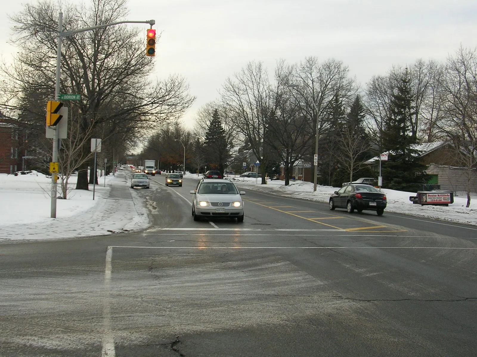
- 1874
Gateville, an early subdivision in the area, was established in 1874. It had disappeared by the 1920s. en.wikipedia.org
- 1892
The first subdivision in the area, Rideau Park, was built in 1892. The land was part of the Billings Estate and was used by market gardeners. en.wikipedia.org
- 1939
The Alta Vista name dates back to at least 1939, as a subdivision separate from Rideau Park. The area was then part of Gloucester Township. en.wikipedia.org
- 1950
The area was annexed by Ottawa in 1950. Suburbanization followed in the 1950s, with Rideau Park expanding and new subdivisions including Faircrest Heights and Applewood Acres in the north, Ridgemont in the south and Elmvale Acres in the east. en.wikipedia.org
- 1960s
In the 1960s, the subdivision of Urbandale Acres was built between Elmvale Acres and the rest of Alta Vista. en.wikipedia.org
Around Alta Vista
Walking rings at 5, 10 and 15 minutes from the neighbourhood centre.
Schools
8 nearbyAlta Vista Public School
OCDSB1349 av. Randall Avemaps.ottawa.ca ocdsb.ca
660 m8 min walkMarie-Curie Public Elementary School
CÉPEO1485 ch. Heron Rdmaps.ottawa.ca cepeo.on.ca
1.0 km13 min walkSt. Gemma School
OCSB1760 av. McMaster Avemaps.ottawa.ca ocsb.ca
1.1 km14 min walkSt. Patrick's High School
OCSB2525 prom. Alta Vista Drmaps.ottawa.ca ocsb.ca
1.2 km15 min walkPleasant Park Public School
OCDSB564 ch. Pleasant Park Rdmaps.ottawa.ca ocdsb.ca
1.2 km15 min walkFeatherston Drive Public School
OCDSB1801 prom. Featherston Drmaps.ottawa.ca ocdsb.ca
1.3 km16 min walkRidgemont High School
OCDSB2597 prom. Alta Vista Drmaps.ottawa.ca ocdsb.ca
1.4 km18 min walkCharles H. Hulse Public School
OCDSB2605 prom. Alta Vista Drmaps.ottawa.ca ocdsb.ca
1.6 km20 min walk
Straight-line distances from the Alta Vista centre. Living near a school does not guarantee a place: confirm the designated school for an address with each board. All schools and board locators.
Parks & places
10 nearbyCunningham Woods
Passive Recreation park
319 Marshall Court, Ottawamaps.ottawa.ca
220 m3 min walkTess Dent Park
Passive Recreation park
2238 Reeves Crescent, Ottawamaps.ottawa.ca
420 m5 min walkApplewood Park
Active Recreation park
134 Begonia Avenue, Ottawamaps.ottawa.ca
630 m8 min walkOutdoor rink, Applewood Park
Outdoor rink (winter, weather permitting)
134 Begonia Ave.maps.ottawa.ca ottawa.ca
650 m8 min walkOutdoor rink, Alta Vista Park
Outdoor rink (winter, weather permitting)
1309 Randall Ave.maps.ottawa.ca ottawa.ca
720 m9 min walkAlta Vista Park
Active Recreation park
1309 Randall Avenue, Ottawamaps.ottawa.ca
720 m9 min walkGrasshopper Hill/Kilborn Park
Active Recreation park
1609 Kilborn Avenuemaps.ottawa.ca
760 m10 min walkWRENS Way
Active Recreation park
1612 Kilborn Avenue, Ottawamaps.ottawa.ca
760 m10 min walkJohn Murphy Park
Active Recreation park
120 Rodney Crescent, Ottawamaps.ottawa.ca
770 m10 min walkOrlando Park Annex
Active Recreation park
2347 Orlando Avenue, Ottawamaps.ottawa.ca
830 m10 min walk
Shops & dining
10 nearbyKilborn Pharmacy
Pharmacy
1385 Bank Streetopenstreetmap.org
990 m12 min walkPharmaChoice
Pharmacy
1405 Bank Streetopenstreetmap.org
990 m12 min walkRiverside Drugstore
Pharmacy
1919 Riverside Driveopenstreetmap.org
1.1 km14 min walkFarm Boy
Supermarket
1500 Bank Streetopenstreetmap.org
1.1 km14 min walkPharmasave
Pharmacy
1355 Bank Streetopenstreetmap.org
1.1 km14 min walkCrusader Concrete
Supermarket
1503 Gilles Streetopenstreetmap.org
1.1 km14 min walkPharmasave
Pharmacy
1194 Karn Placeopenstreetmap.org
1.2 km14 min walkBulk Barn
Supermarket
2269 Riverside Driveopenstreetmap.org
1.2 km15 min walkPharmaChoice
Pharmacy
1500 Bank Streetopenstreetmap.org
1.2 km15 min walkPharmasave
Pharmacy
Kilborn Avenueopenstreetmap.org
1.2 km15 min walk
Getting around
TransitPleasant Park station
Transitway / transit station (City of Ottawa transit stations layer)
openmaps.ottawa.ca
790 m10 min walkRiverside station
Transitway / transit station (City of Ottawa transit stations layer)
openmaps.ottawa.ca
1.1 km14 min walkBillings Bridge station
Transitway / transit station (City of Ottawa transit stations layer)
openmaps.ottawa.ca
1.3 km17 min walkSmyth station
Transitway / transit station (City of Ottawa transit stations layer)
openmaps.ottawa.ca
1.4 km18 min walkO-Train
Walkley station is about 2.3 km away in a straight line (open; Line 2).
O-Train
Mooney's Bay station is about 2.3 km away in a straight line (open; Line 2).
Transitway / bus
Pleasant Park station is about 0.8 km away in a straight line (open).
Downtown
Parliament Hill is about 5.0 km away in a straight line.
For sale in Alta Vista
No Alta Vista homes on altavista.homes right now
Selling here? Get a website for your home, or browse every home for sale in the area.
Neighbouring areas
Quick answers
Short answers first; each links to the full answer and its sources.
Is Alta Vista a good place to live?
Alta Vista is a mostly residential Ottawa neighbourhood where 79.9% of dwellings are single-detached houses and 78.6% of households own their home (2021 census, via the Ottawa Neighbourhood Study). It has 33.9% tree canopy (2024), 15 parks in the area data and schools from several boards nearby. Most workers commute by car (75.6%, 2021), and the average Walk Score is 37, so whether it fits depends on how you like to get around.
As of 2026-10 · ons-sqo.ca maps.ottawa.ca
Where is Alta Vista in Ottawa?
Alta Vista is a residential neighbourhood in east-end Ottawa, about 5.0 km in a straight line from Parliament Hill. Per the Alta Vista Community Association's boundaries, it lies south of Smyth Road, north of Walkley Road, east of the Rideau River (and Bank Street) and west of the greenspace under Haig Drive. The City of Ottawa places it in Ward 18 (Alta Vista).
As of 2026-10 · en.wikipedia.org en.wikipedia.org
How far is Alta Vista from downtown Ottawa?
Alta Vista is about 5.0 km from downtown Ottawa, measured in a straight line to Parliament Hill. Real driving, cycling or transit distances will be longer and depend on the route.
As of 2026-10 · en.wikipedia.org maps.ottawa.ca
What schools serve Alta Vista?
The City of Ottawa schools layer lists 26 schools within about 2.7 km (straight-line) of the Alta Vista centre: 11 OCDSB, 3 OCSB, 5 CECCE, 1 CÉPEO and 6 independent. Nearby elementary schools include Alta Vista Public School, St. Gemma School and Pleasant Park Public School. Families must confirm which school serves a given address with each board's school locator.
As of 2026-10 · maps.ottawa.ca en.wikipedia.org
Are there French-language schools in Alta Vista?
Yes, French-language schools are close to Alta Vista. Marie-Curie Public Elementary School (CÉPEO) is about 0.9 km from the neighbourhood centre, and the CECCE runs several French Catholic schools within about 2.7 km, all in a straight line.
As of 2026-10 · maps.ottawa.ca maps.ottawa.ca
Which high schools are near Alta Vista?
The closest high schools to Alta Vista are St. Patrick's High School (OCSB, about 1.0 km from the centre) and Ridgemont High School (OCDSB, about 1.2 km), straight-line. Hillcrest High School (OCDSB) and the French-language Franco-Cité Catholic Secondary School (CECCE) are each about 2.2 km away.
As of 2026-10 · maps.ottawa.ca maps.ottawa.ca